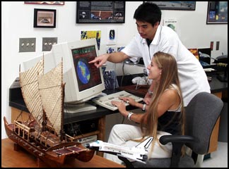
WCC operates a T-RIS satellite tracking station which permits reception of D-band digital downlink signals from HRPT-like polar orbiting weather imaging satellites. Included in this coverage is NOAA Advanced Very High Resolution (AVHRR) data. This earth station affords WCC students the opportunity to gain experiential training in real-time data acquisition, archival storage methods, image processing, weather analysis and satellite orbital mechanics.
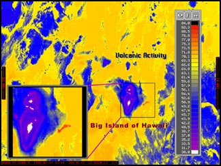
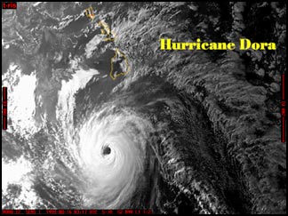
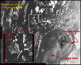
Students can monitor approaching weather systems, such as hurricanes and tropical depressions, observe global oceanic patterns, such as island wakes formed behind the leeward side of the Hawaiian Islands and monitor volcanic activity on the Big Island. Students can also gain training in image analysis and weather forecasting.